Humans have sailed the oceans' surfaces for millennia, but their depths remain effectively uncharted. Only about a quarter of the seafloor has been mapped at high resolution. Maps of most regions display only approximate depths and often miss entire underwater mountains or canyons.
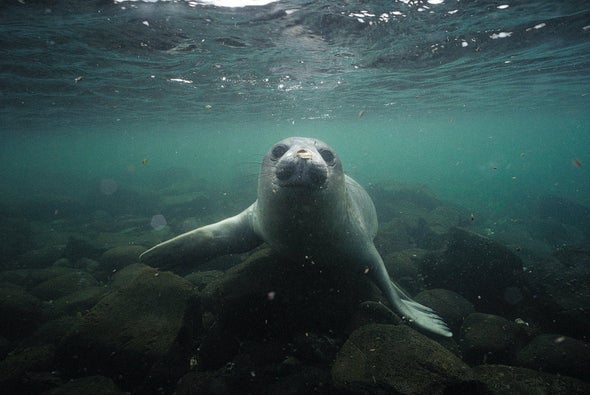
So a group of researchers has recruited some deep-diving experts: Elephant Seals and Weddell Seals. Scientists have been placing trackers on these blubbery marine mammals around Antarctica for years, gathering data on ocean temperature and salinity. For a new study, the researchers compared these dives' location and depth data with some of the less detailed seafloor maps. They spotted places where the seals dove deeper than should have been possible according to the maps—meaning the existing depth estimates were inaccurate.
In eastern Antarctica's Vincennes Bay, the diving seals helped the scientists find a large, hidden underwater canyon plunging to depths of more than a mile. An Australian research ship called the RSV Nuyina later measured the canyon's exact depth using sonar, and the researchers have proposed naming their find the Mirounga-Nuyina Canyon—honoring both the ship and the involved Elephant Seals, genus Mirounga.
“The seals discovered the canyon, and the ship confirmed it,” says Clive McMahon, a researcher at the Integrated Marine Observing System in Australia and a co-author of the new study, published in Communications Earth & Environment.
But seals can't map the entire ocean floor. The trackers used in the study could pinpoint a seal's geographical location only within about 1.5 miles, which allows for useful but not exactly high-resolution data. Plus, because the seals don't always dive to the bottom of the ocean, they can reveal only where the bottom is deeper than in existing maps—not shallower. McMahon notes that scientists could improve on these data by using more precise GPS trackers and analyzing the seals' diving patterns to determine whether they have reached the seafloor or simply stopped descending.
The current seal-dive data can still be valuable for an important task, says Anna Wåhlin, an oceanographer at the University of Gothenburg in Sweden, who was not involved in the new research. The deep ocean around Antarctica is warmer than the frigid waters at the surface, and seafloor canyons can allow that warmer water to flow to the ice along the continent's coast, Wåhlin explains. To predict how Antarctica's ice will melt, scientists will need to know where those canyons are and how deep they go.
